
Step 3. Once, the point has been placed and your see the red indicator, a menu will appear and there, you will see an option that reads ‘measure distance’. Tap on it.
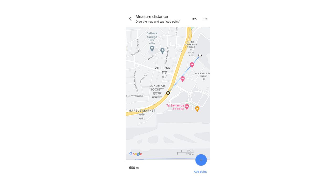
Step 4. Once you tap on the measure distance option, you will that a crosshair will appear on the map, that starts from the first point, and you can drag this crosshair to the final destination that you have in mind, and as you drag the crosshair, you will see the distance between the two points update itself in real time. Once you have reached the destination of your choice, the distance between the two points will be displayed at the bottom of the screen.
Table of Contents
For Google Maps on the Web
On the web version of Google Maps, the measure distance feature is available but not really clear to see to the naked eye, but this tutorial will make things super easy!!
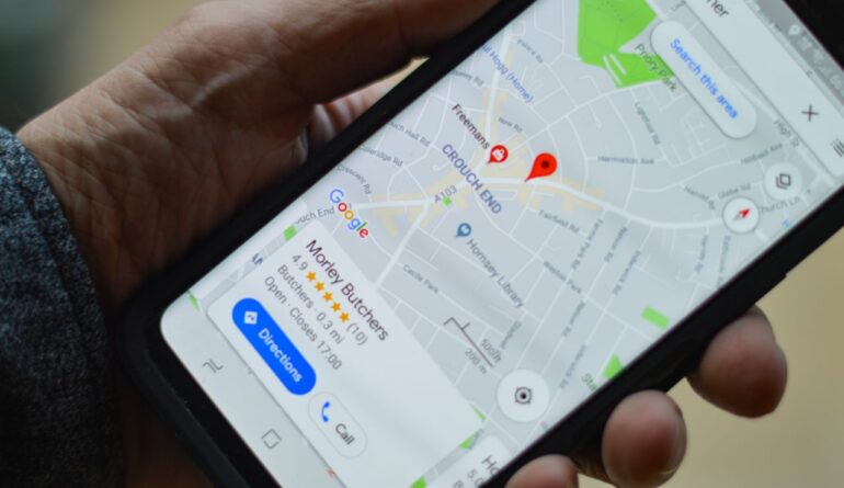
Step 1. Open the browser version of Google Maps on your computer.
