
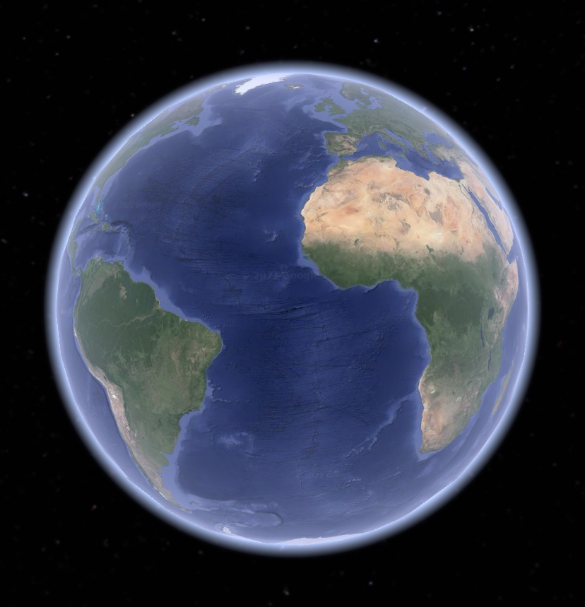
Images. Lots and lots of images. Google uses satellite imagery and on-ground support to collect thousands of photos of places all over the world, and using multiple angles, these images are converted into 3D which then translates to the interactive 3D experience that we all see on our screens.
