

In one of our earlier tutorials, we showed you how to find out the distance between two places on earth using the ruler feature. In order to calculate this length, the two things you need are the two places in question. The application itself allows you to navigate to and virtually visit any location on planet earth (except secret government locations of course), so literally, all the visitable places are accessible and available for selection, and all that remains, is to know how to draw a line between the two places in order to get the distance between them, and even an elevation profile if you so desire.
How to draw a line on Google Earth
So, if there are any operations you want to perform between any two or even three places on planet earth, this is how you set things up by drawing a line across them all –
Step 1. Open the Google Earth application on your computer.
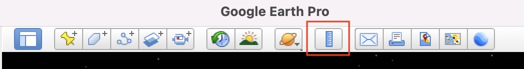
Step 2. Now, from the toolbar, click on the ruler button to enable the line drawing feature. You can confirm this if you see your cursor turn into a crosshair-like icon.
Step 3. Now, hover around the global and when you spot a location you are looking for, left click on the mouse to place a point.
Step 4. Spot the second location of your choice and then left-click to place the second point.
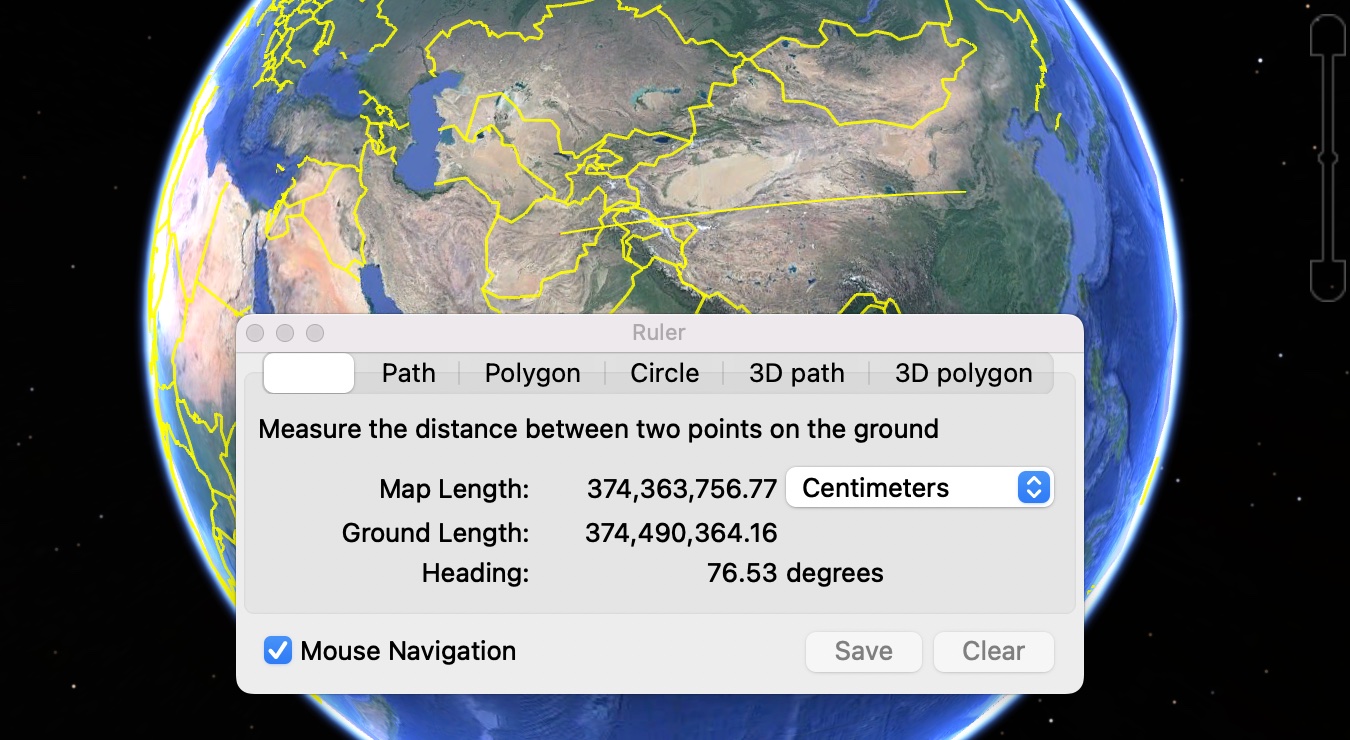
You can do this for a few more locations or even complete a triangle between three places, and for every selection, you will see the distance pop up on the ruler window, and this is good as you get instantaneous output for the selection.
The question that many people ask is why this feature even exists. Yes, for normal or average users, who use Google Earth for the visual tours it offers, the ruler feature will not really find any application. However, if you are someone who loves to intricately plan their trips around the world, and need in-depth data for your planning process, then this line feature really comes in handy.
If you want to experience all of this and more, you can download and install the Google Earth Pro application for your PC, and the best part is, it is absolutely FREE!!
