

As climate change takes a turn for the worse every year, one of the consequences that worry scientists the most is the sea levels rise. The melting of glaciers on the poles is slowly leading to a rise in the overall sea level on the planet and this can have far-reaching consequences for the coastal cities all over the world, especially cities where some of the locations are actually reclaimed. It is being reported that even a 2 degree to 4-degree rise in mean worldwide temperature can cause most coastal cities to either flood or submerge entirely.
Google Earth has been taking people on virtual tours around the world, for years, but recently, many organizations have collaborated with the software, to bring in interesting insights that can hopefully educate the users into being a little more aware of what is unfolding all around them, climate-wise.
One of the insights available on the web version of the Google Earth app shows you the fate of coastal cities due to sea-level rise, and while the animation and graphics are immersive and paint a very real picture, what we appreciate is that the feature does not dilute the outcome by any stretch and also gives you valuable information regarding the solutions we still have available.
If you want to see this insight on Google Earth, here’s how you can do it –
Step 1. Open the Google Earth web app on your browser.
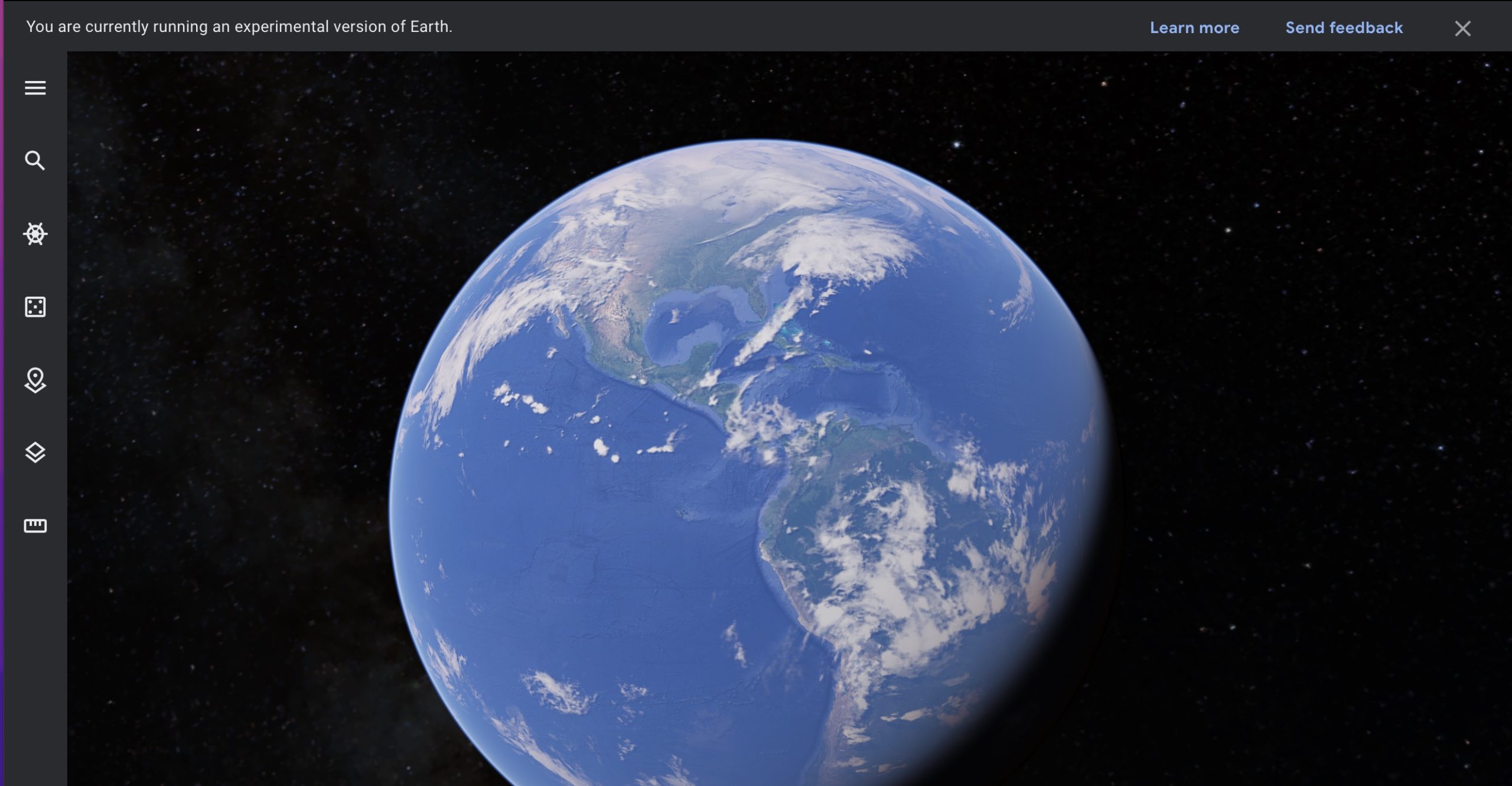
Step 2. Click on the three-line button on the top left-hand side of the home page.

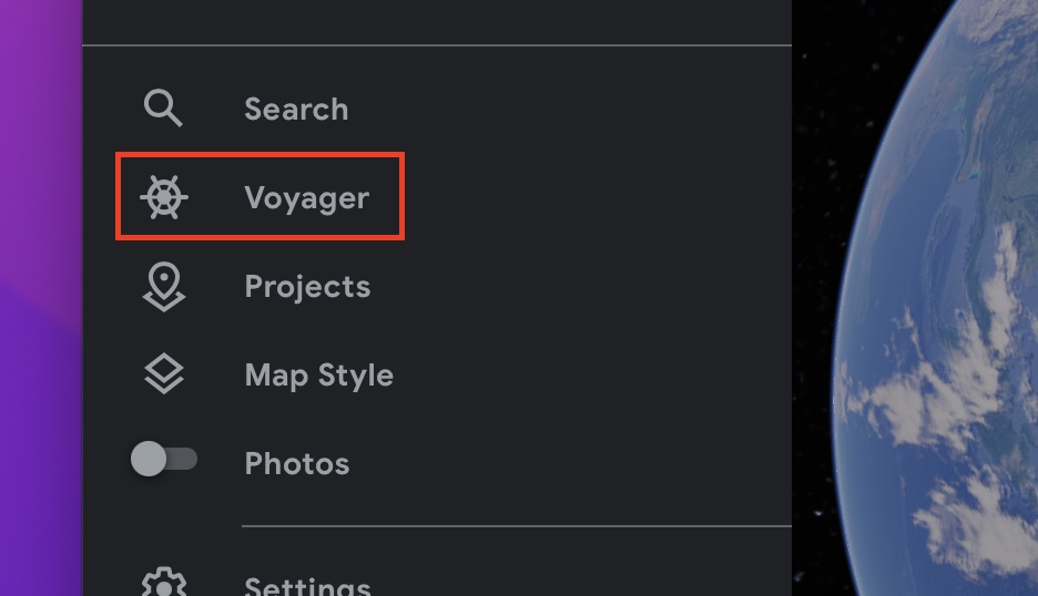
Step 3. From the slide-in menu, click on the Voyager button.
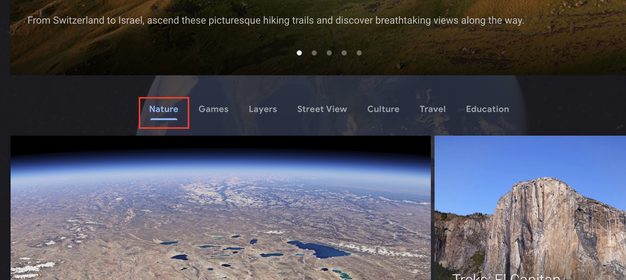
Step 4. Click on the Nature tab from the list of options.
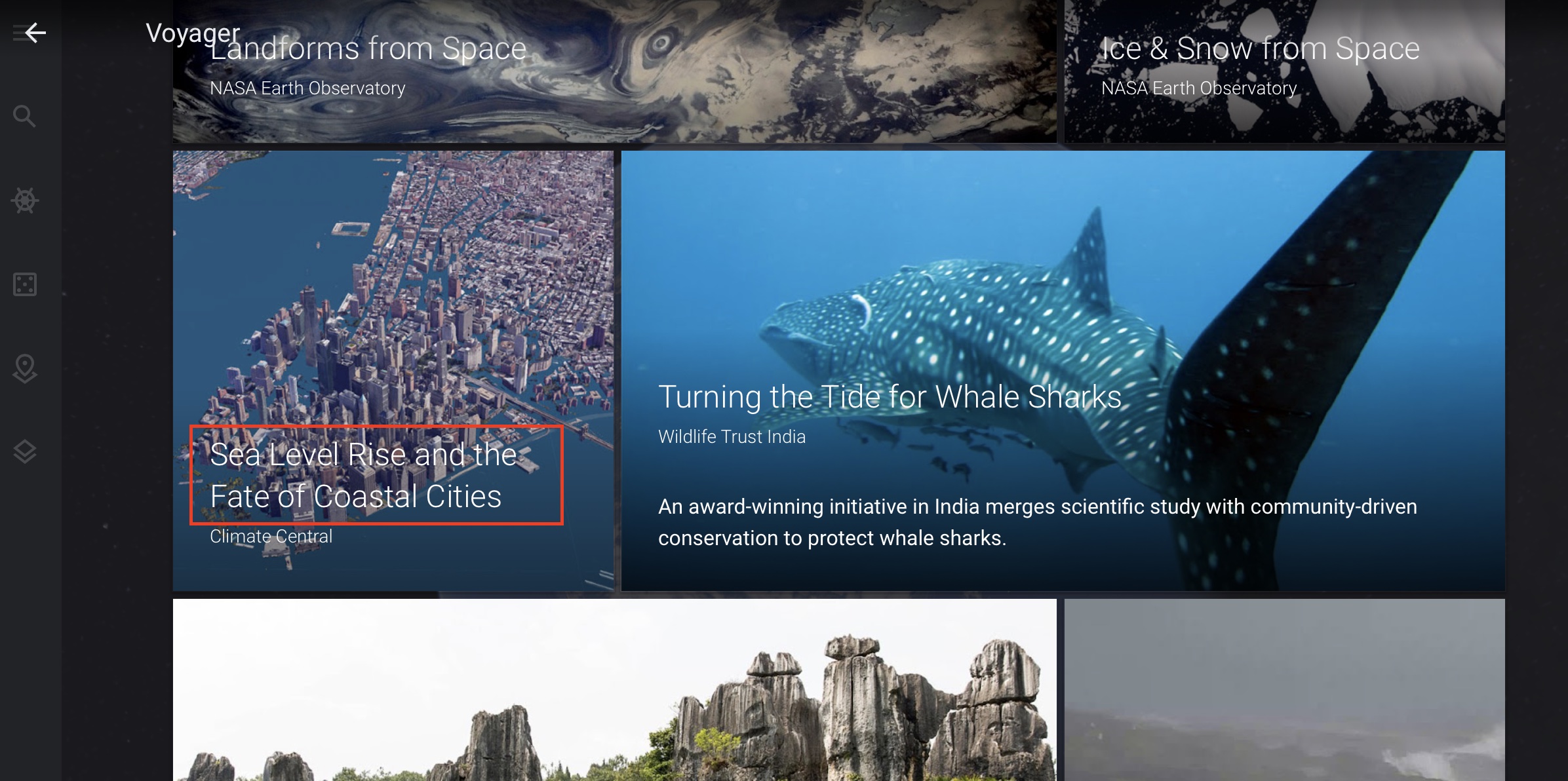
Step 5. Scroll through the list and then click on the ‘Sea Level Rise and the Fate of Coastal Cities’ option.
You will now see the virtual earth zoom out and a presentation will begin where every slide will take you to one at-risk coastal city and how the rise in sea level will affect the city in question.
You can also toggle between a 2-degree rise in temperature vs a 4-degree rise to see the impact in a better perspective. Overall, what this insight seeks to deliver is a sense of awareness and a feeling of responsibility to act better and ensure that we don’t face this eventuality in the near future.
