

No matter where you are, there must have been a time or there must be some aspirations right now, to travel the world. A few years ago, this process involved planning, booking tickets, and going on an adventure. But now, with the world fighting a pandemic, traveling has become a little more tricky and in some cases, a bigger hassle than anything else. Wouldn’t it be nice if there was some way to actually travel to your favorite place in the world, without really getting off your bed?
The first thought that may come to mind is Google Maps or Apple Maps. The map software has undergone so much evolution that you can now have a virtual tour of your favorite place, right inside your smartphone or PC, and the best part is, it doesn’t even cost a penny!!
But this mapping software has its limitations, and most of the time, the experience is not really as immersive as you may want it to be.
That is where the real solution comes into play, and that is none other than Google Earth.
Introduced on 11th June 2001 Google Earth, is the three-dimensional planetary browser that shows our entire planet (albeit a few top-secret military bases) in satellite imagery and aerial photos.
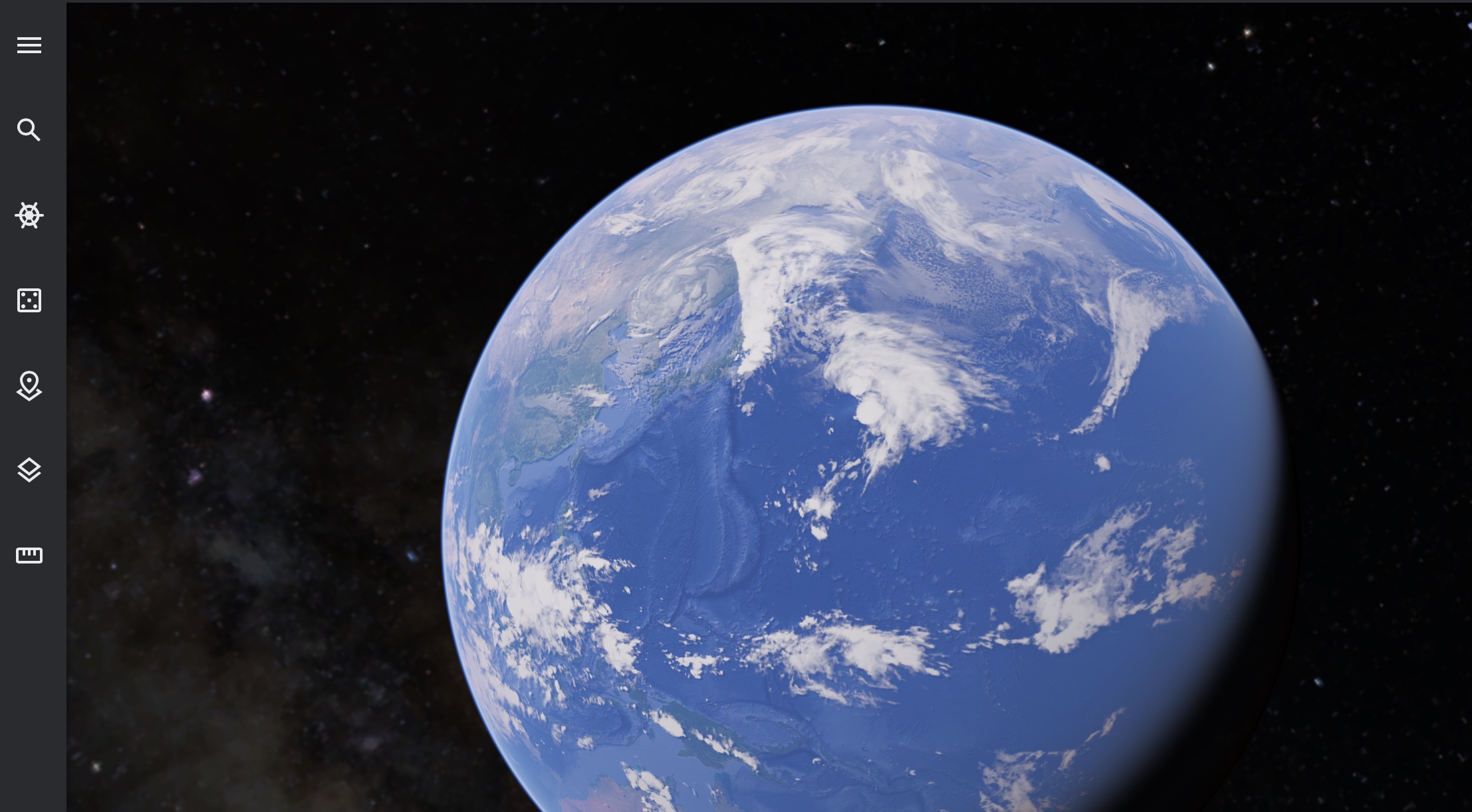
This has been in the works for a while now, and people have absolutely put this software on a different level, as it allows them to literally explore a virtual 3D earth, and all the places it contains, anytime and anywhere you want.
Google has been collaborating with satellites, on-ground support, and individual contributors to supply high-quality images of locations all around the world, and every month, a list of locations are upgraded to reflect any new changes that may have taken place, in terms of terrain or establishment of new buildings or spots of interest. This list of locations is pre-decided by Google, so there is no point holding out hope for your hometown getting an upgrade as it will only get the change when Google receives significant footage that reflects changes to that location.
As mentioned earlier, you can use Google Earth on your PC via your browser, or on your smartphones and tablets using the application, which is absolutely smooth and user-friendly. For the PC, the application is called Google Earth Pro, and the company has put out a list of minimum and recommended requirements to run this application as follows –
PC Requirements
Windows
Minimum:
- Operating System: Windows 7
- CPU: 1GHz or faster
- System Memory (RAM): 2GB
- Hard Disk: 2GB free space
- Internet Connection
- Graphics Processor: DirectX 9 or OpenGL 1.4 compatible
Recommended:
- Operating System: Windows 7 or higher
- CPU: 2GHz dual-core or faster
- System Memory (RAM): 4GB
- Hard Disk: 4GB free space
- High-Speed Internet Connection
- Graphics Processor: DirectX 11 or OpenGL 2.0 compatible
Mac Computers
Minimum:
- Operating System: Mac OS 10.8
- CPU: Intel 64-bit
- System Memory (RAM): 2GB
- Hard Disk: 2GB free space
- Internet Connection
- Graphics Processor: OpenGL 1.4 compatible
Recommended:
- Operating System: Mac OS 10.8 or later
- CPU: Intel dual-core 64-bit
- System Memory (RAM): 4GB
- Hard Disk: 4GB free space
- High-Speed Internet Connection
- Graphics Processor: OpenGL 2.0 compatible
If your computers satisfy these requirements, you can download and run Google Earth on your system using this link.
So, go ahead, explore the world, without getting off your sofa!!
