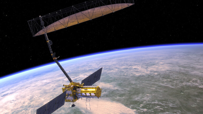

NISAR’s high-resolution data will not only help governments respond to and prepare for natural disasters, but also improve our understanding of climate change and threats to food security. The satellite’s time-based imagery and readily accessible data make it a valuable tool for scientists studying environmental changes.
