

No matter where you are, there must have been a time or there must be some aspirations right now, to travel the world. A few years ago, this process involved planning, booking tickets, and going on an adventure. But now, with the world fighting a pandemic, traveling has become a little more tricky and in some cases, a bigger hassle than anything else. Wouldn’t it be nice if there was some way to actually travel to your favorite place in the world, without really getting off your bed?
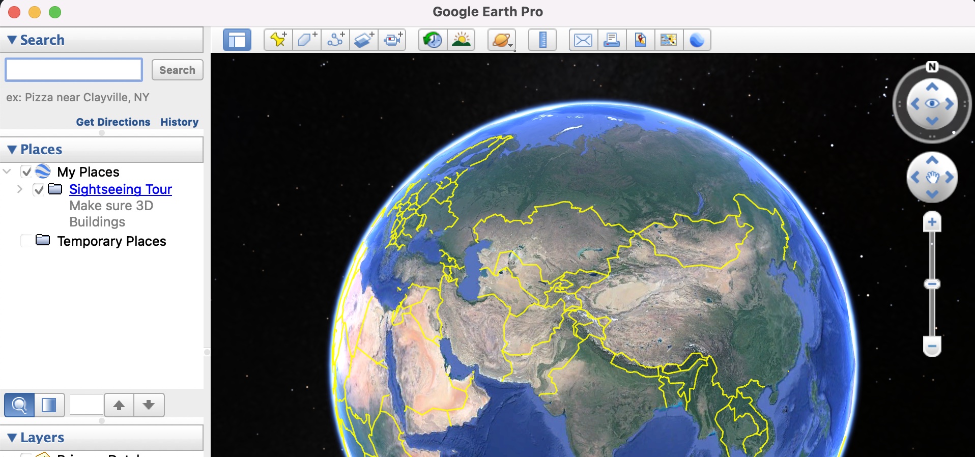
Google Earth, for those of you who don’t know, is the three-dimensional planetary browser that shows our entire planet (albeit a few top-secret military bases) in satellite imagery and aerial photos.
This has been in the works for a while now, and people have absolutely put this software on a different level, as it allows them to literally explore a virtual 3D earth, and all the places it contains, anytime and anywhere you want.
The Google Earth application measures the distance between two places in meters/kilometers, which seems to be the system default for most computers around the world. However, you may find that measuring distances in feet may be something you are more comfortable with and if you are one of these users, then there is a very easy way to switch things up, and in this tutorial, we will show you step-by-step, how you can change the unit of measurement on Google Earth.
Step 1. Open the Google Earth Pro application on your computer.
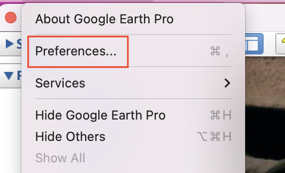
Step 2. From the top menu bar, click on the ‘Google Earth Pro’ button.

Step 3. Scroll through the drop-down menu, click on the ‘Preferences’ option.
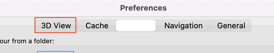
Step 4. In the preferences menu, click on the ‘3D view’ tab.
Step 5. Since we want to switch the unit of measurement to ‘feet’, click on the ‘feet, miles’ option under the unit of measurement tab.
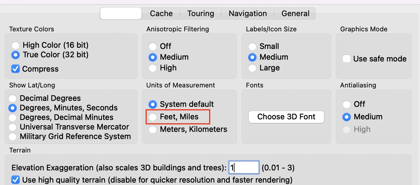
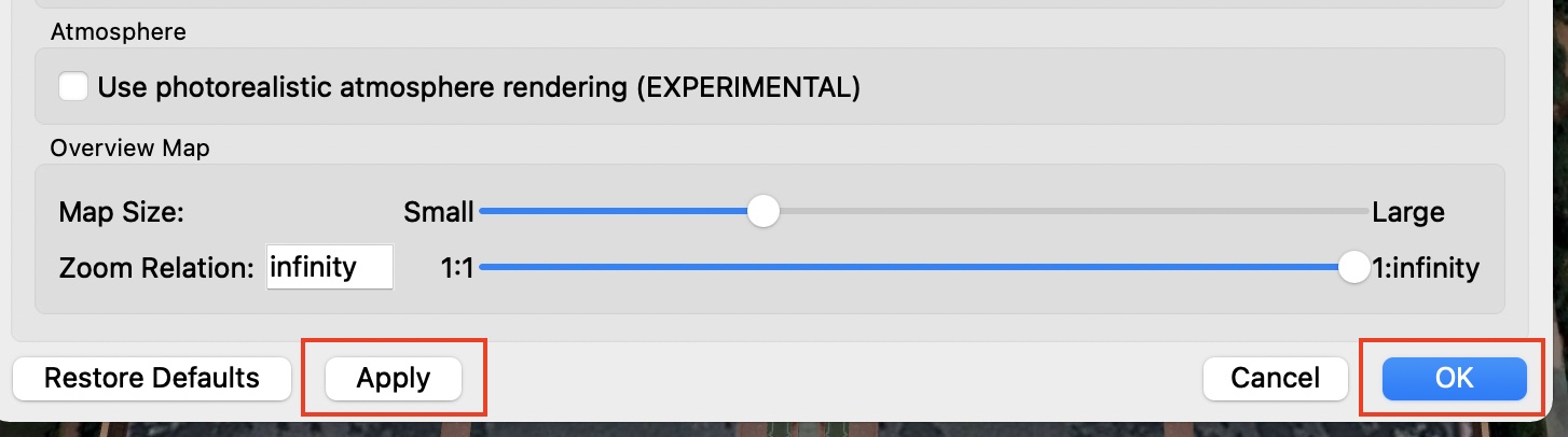
Click on the ‘Apply’ and then, the ‘OK’ button to confirm the changes. You can restart the application and you will now see that all the distances will now appear in feet/miles.
You can download and run Google Earth on your system using this link.
So, go ahead, explore the world, without getting off your sofa!!
