

The Google Earth application allows you to calculate the distance between two places on the planet using the ‘ruler’ feature, and that is really useful if you are someone who is interested in the intricate details in the geographical aspects, or maybe you like intricately planning your trips. What some people may not know is that the same ruler feature can also be used to obtain the elevation profile for a particular route that you have marked up. Again, is this data really useful for the average user? Maybe not, but it never hurts to have it in those situations where this data can actually prove useful.
In this tutorial, we will walk you through how you can easily get the elevation profile on Google Earth.
Step 1. Open the Google Earth application on your computer.
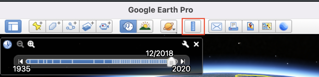
Step 2. First, you need to make a ruler line, so go ahead and click on the ruler button from the toolbar.
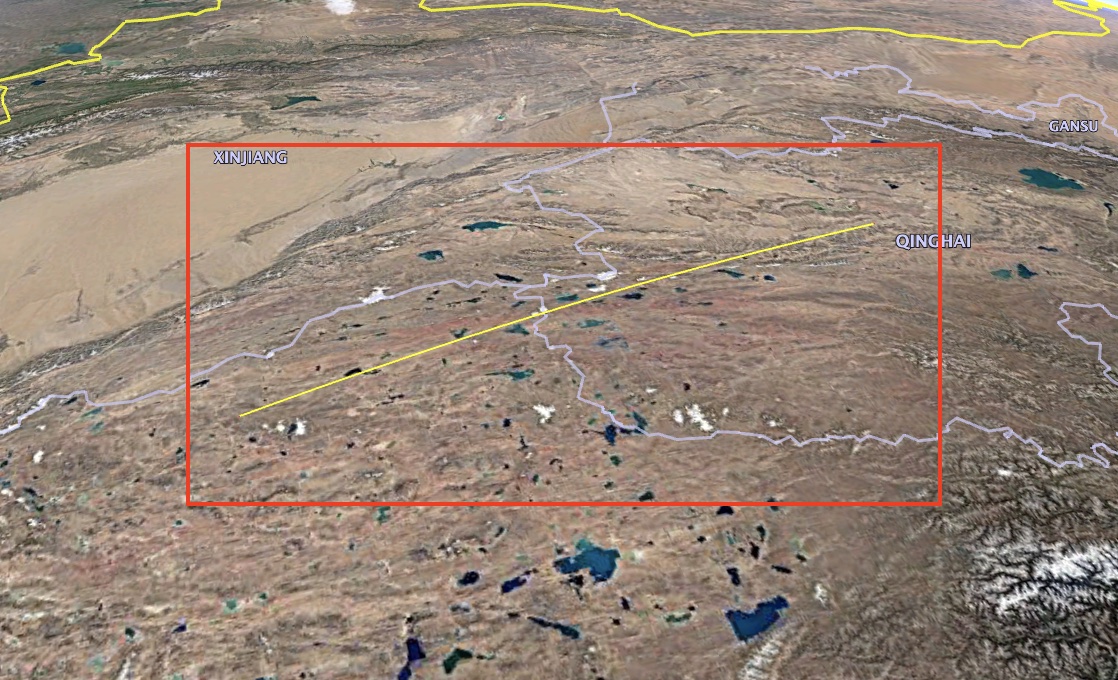
Step 3. Now, on the globe, draw a line between the two places that you want the elevation profile for.
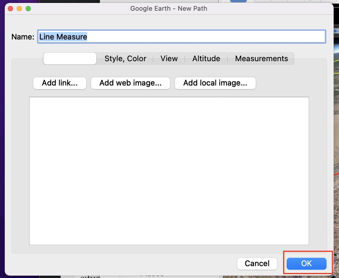
Step 4. Once you are satisfied with the line profile, click on the ‘Save’ button.
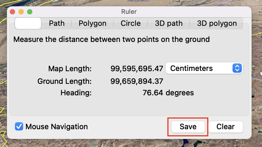
Step 5. On the confirmation window, click on the ‘OK’ button.
The line profile will now turn red indicating that the profile is now saved and locked in. Now, let’s obtain the elevation profile for this line profile that we have created.
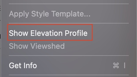
Step 1. From the menu bar, click on the ‘Edit’ button.
![]()
Step 2. Scroll through the drop-down menu and click on the ‘Show Elevation Profile’ option.
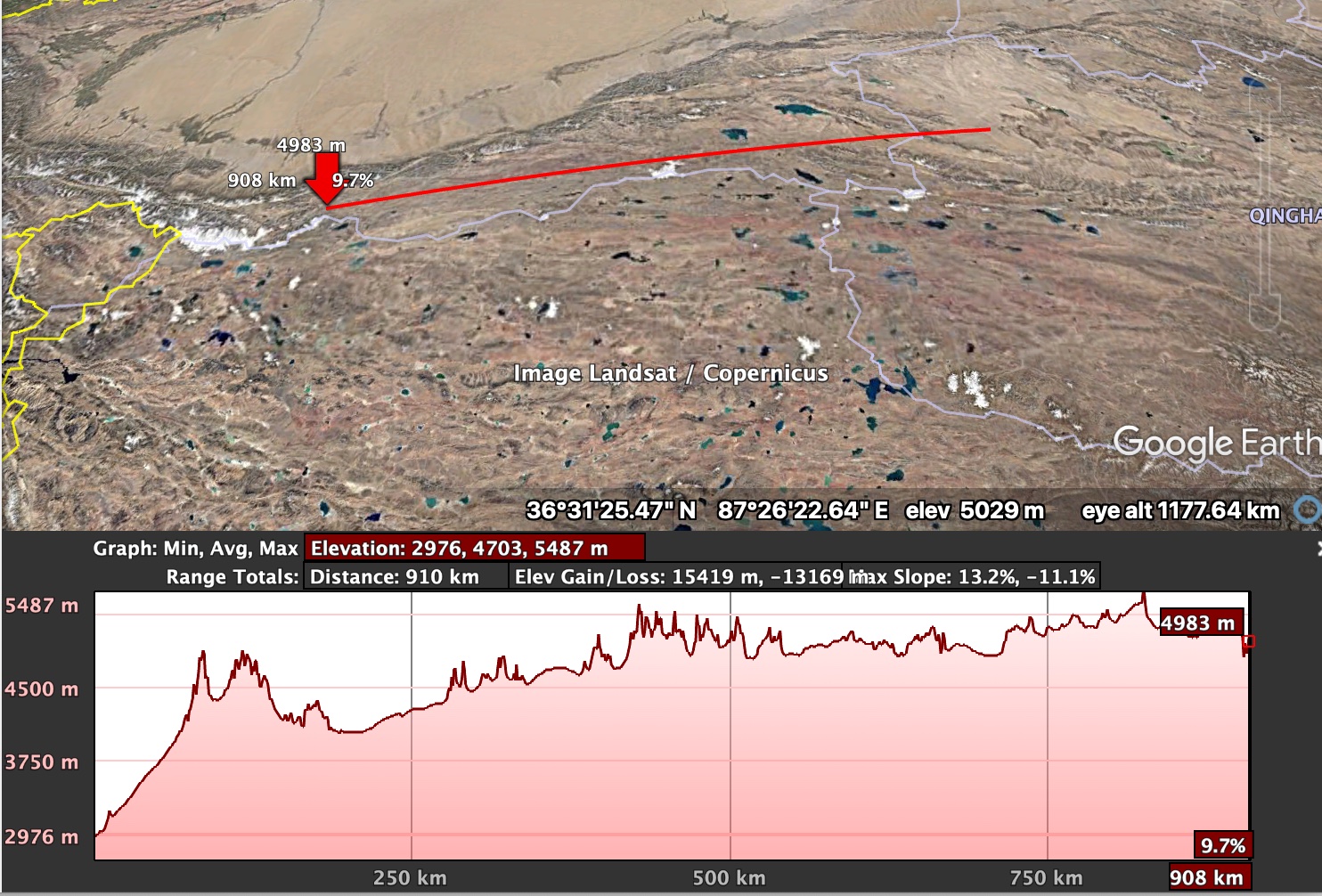
You will now see a graph showing the change in elevation along the line that you have drawn and you can simply slide over this graph to see individual elevation profiles for the specific point on the line. This is really nifty and the animation is smooth, so the lag factor is totally gone. If you are a geography buff, these statistics will really get you excited and it is great to see the extent to which Google has gone to offer this level of detail.
If you are someone who loves exploring the world but doesn’t want to risk stepping outside due to the ongoing pandemic, you should absolutely consider downloading the Google Earth Pro application for your computer.
You can head to the download page using this link.
