
Google Maps Street View feature is getting a few updates to commemorate the service’s 15th anniversary, according to the search giant. The first is a new feature that will display historical Street View imagery on your phone in its iOS and Android apps. The second is a new, more portable camera that Google thinks will make future Street View imagery capture easier.
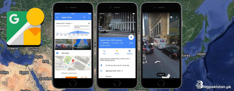
Since 2014, the desktop version of Google Maps has allowed users to use Street View to view how a location has changed over time. However, the iOS and Android apps for the service will now have the same capability. To see historical imagery for a site, tap anywhere on the screen when in Street View mode, then pick “see more dates.” Google boasts that the function will show imagery dating back to Street View’s inception in 2007 in regions where it is available.
Google’s second announcement, timed to coincide with the anniversary of Street View, is a new, more portable camera for shooting 360-degree imagery. Currently, the search giant uses dedicated cars and large camera-equipped backpacks (dubbed Trekkers) to photograph the world, but the new camera condenses all of this functionality into a device weighing just under 15 pounds (approximately 6.8kg) and being “roughly the size of a house cat,” according to Google’s blog post.
The camera is intended to make it easier for Google to acquire Street View imagery around the world, allowing the company to provide more frequent updates. Instead of paying to carry dedicated camera-equipped vehicles, Google could just retrofit its new camera into an existing truck. And, given that Street View data has already been obtained by putting existing heavy cameras on everything from snowmobiles to Venetian gondolas, it’s easy to picture a wide range of new vehicles Google could tie the new camera to.
Although Google emphasizes the new camera’s portability, Street View’s hardware team head Steven Silverman thinks there should be some enhancements to how each panorama appears as well. “The sensors are even better, with a lower signal-to-noise ratio,” Silverman explains. “These photographs will be even more stunning.” The seven camera sensors in each camera capture panoramic views with 140-megapixel quality, as before, and while lidar sensors aren’t included by default, Silverman says the camera is designed to be adjustable so that they may be added as needed.
Street View is both a genuinely helpful function (how many of us have looked up a location online before visiting it) and a pleasant novelty (with an intense competitive scene to match). However, having cameras wandering the streets is also a useful technique for Google to improve its Google Maps data. Street View photography is utilized to add newly opened companies to Google Maps, improve company opening hours information, and offer road speed limit information.
Silverman says the new camera will be available alongside the company’s existing automobiles and Trekkers next year.
