

Google Earth, for those of you who don’t know, is the three-dimensional planetary browser that shows our entire planet (albeit a few top-secret military bases) in satellite imagery and aerial photos.
This has been in the works for a while now, and people have absolutely put this software on a different level, as it allows them to literally explore a virtual 3D earth, and all the places it contains, anytime and anywhere you want.
Google has been collaborating with satellites, on-ground support, and individual contributors to supply high-quality images of locations all around the world, and every month, a list of locations are upgraded to reflect any new changes that may have taken place, in terms of terrain or establishment of new buildings or spots of interest. This list of locations is pre-decided by Google, so there is no point holding out hope for your hometown getting an upgrade as it will only get the change when Google receives significant footage that reflects changes to that location.
One of the cool features of Google Earth is that you can actually view the cloud cover over any place with just a simple toggle, and while there is no real-time application, it can be useful to those who love tracking cloud movement, that can also indicate wind movement. The app records the cloud cover over a 24 hour period and then plays it in a beautiful looping animation.
If you are interested in seeing this on your device, follow along –
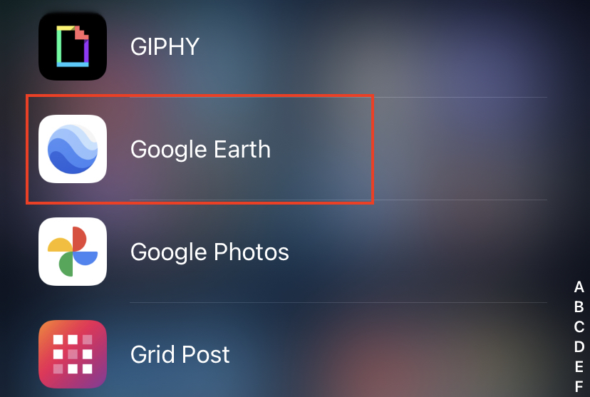
Step 1. Open the Google Earth app on your smartphone.
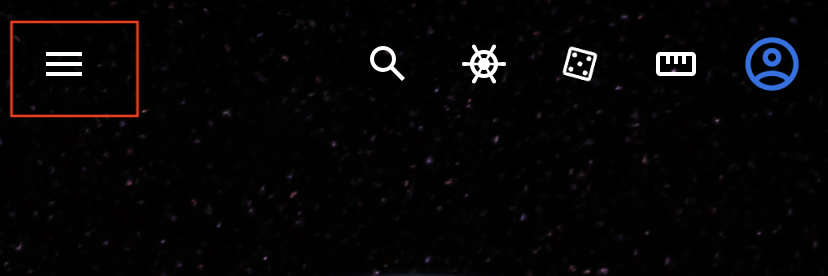
Step 2. Tap on the three-line button at the top left-hand side of the home screen.
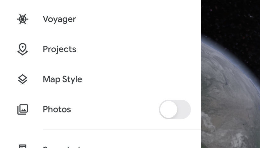
Step 3. From the slide-in menu, tap on the Map Style option.
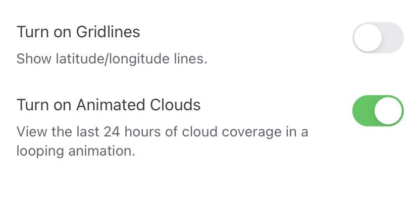
Step 4. Toggle on the switch next to the Turn On Animated Clouds option.
Now head back to the home page and you will see that the virtual globe is covered by an animated cloud cover that is looping the cloud cover of the entire globe over a 24 hour period. We found this animation really cool and if you are a geography buff, it is just one more feature in a rather fully loaded application.
